Mapping, storage & sharing.
Empowered by Advanced AI-driven Autonomy.
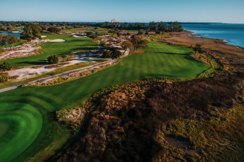
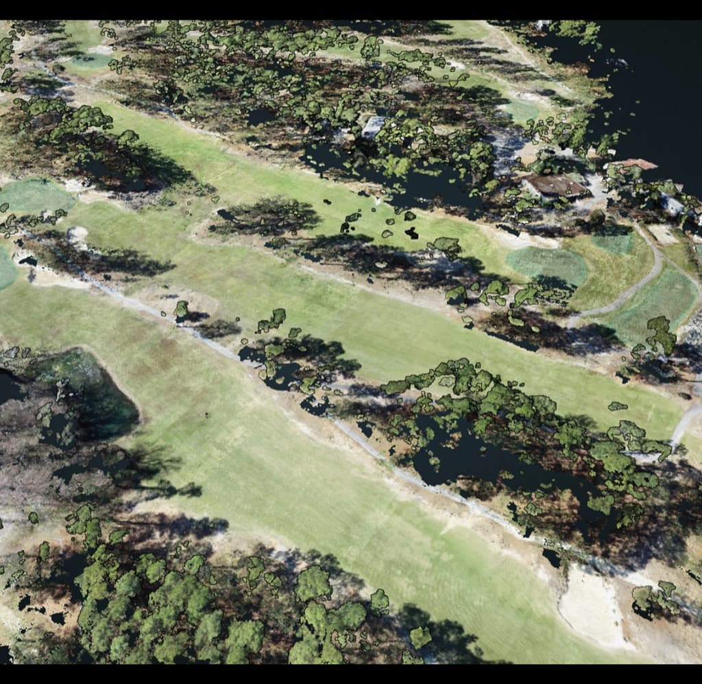
Photogrammetry services a notch above the rest.
Located at: 460 King St #200, Charleston, SC 29403
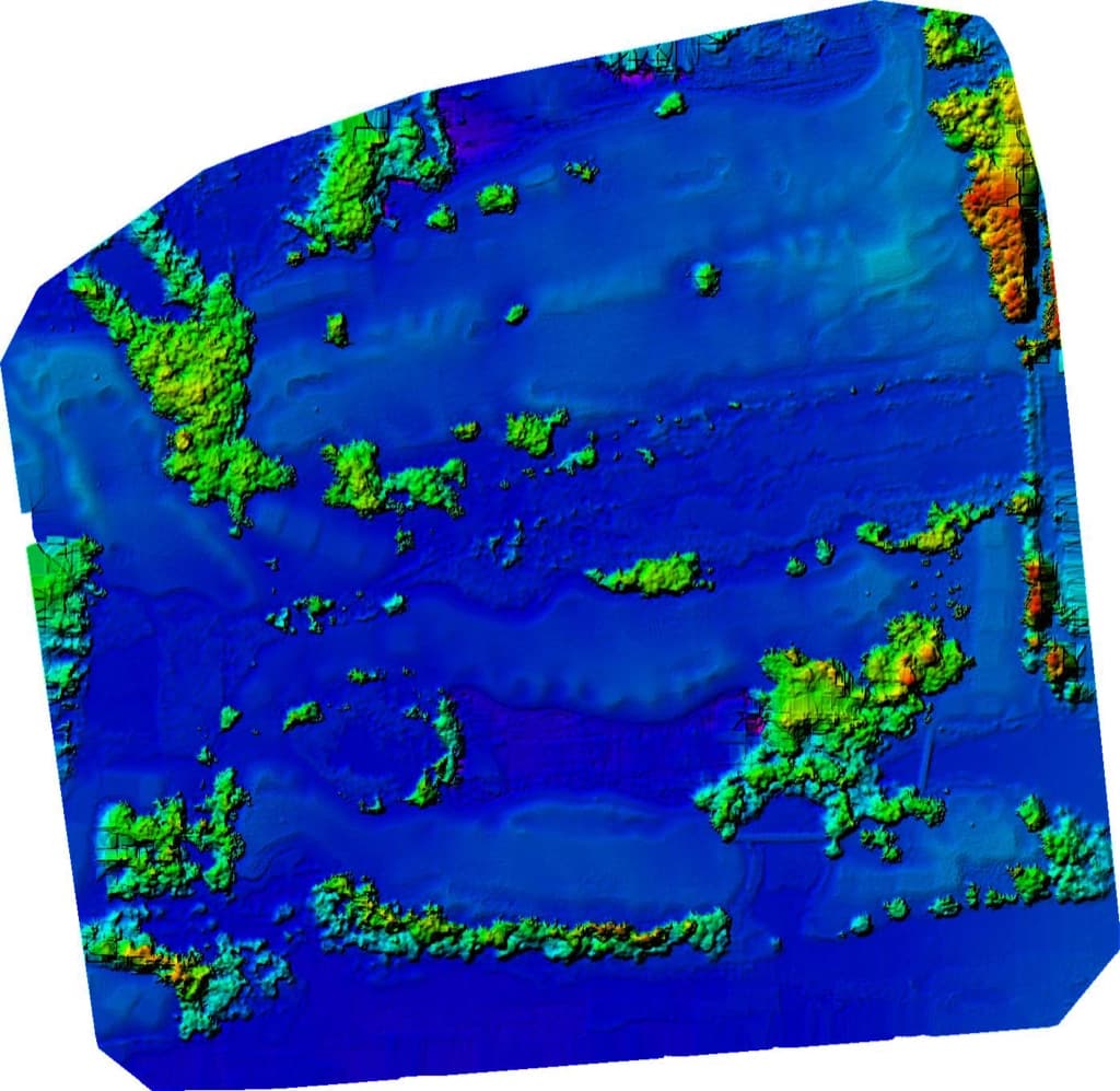
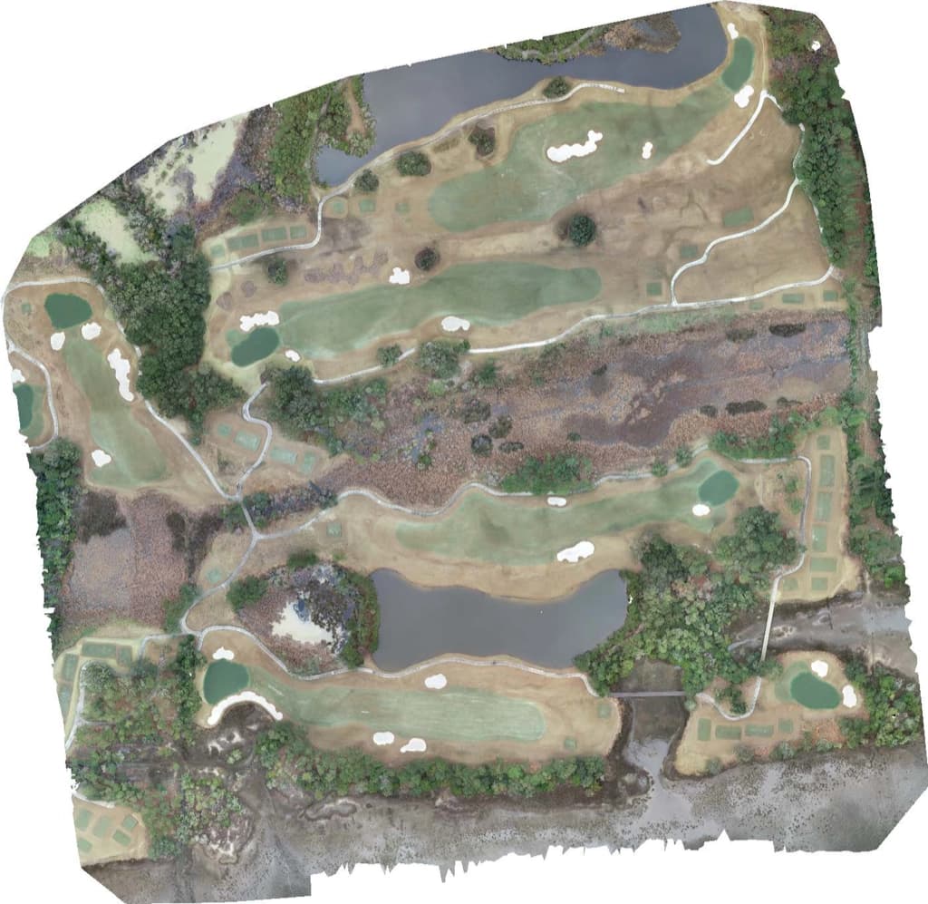
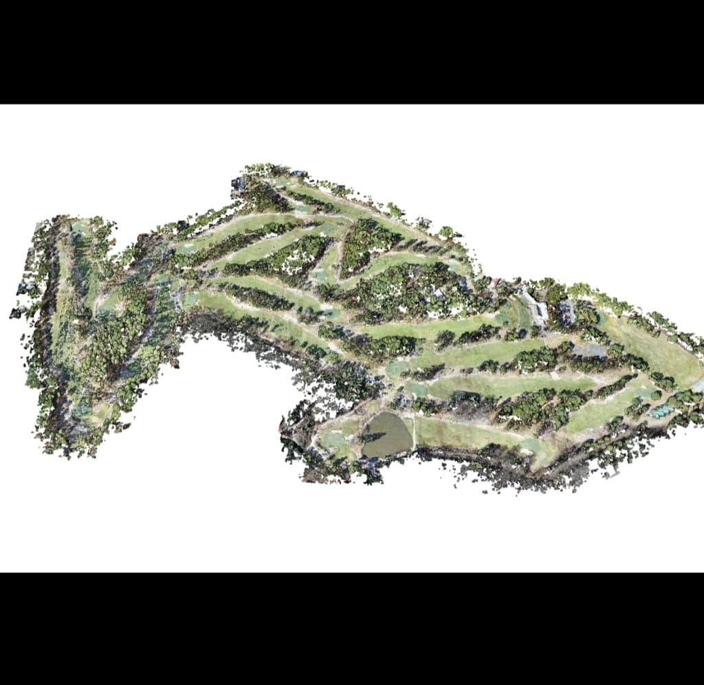
It is possible to capture and deconstruct intricate 2-D and 3-D motion terrains using advanced techniques such as high-speed photography and remote sensing. As a result of integrating detailed analyses into computational frameworks. Our state-of-the-art platform bridges the gap between technology and utility.
Once the data has reached our platform, our sophisticated systems process the information and create valuable assets. We collaborate with licensed drone pilots who are adept at capturing high-quality data. The financial side of photogrammetry has also been simplified — clients now can easily compensate pilots through Airautonomo. We simplify the complexities of photogrammetry, providing unparalleled convenience and value.